As is pointed out in Section 8.1b above, there were very few bridges across any of the major rivers in Kanchanaburi in the 1940s. Just as Bangkok was known as the Venice of the East for its lack of roads and reliance on canals (klongs), so too the folks up-country used the rivers heavily for trade and transportation. The most common wheeled vehicles of the era were ox carts. These, people and goods were easily loaded on to small boats and ferries that crisscrossed the waterways.
It wasn’t until the post-war years that the Thai government further developed the road[1] [1] that connected Kanchanaburi to Bangkok. Until then the railway served local travelers.
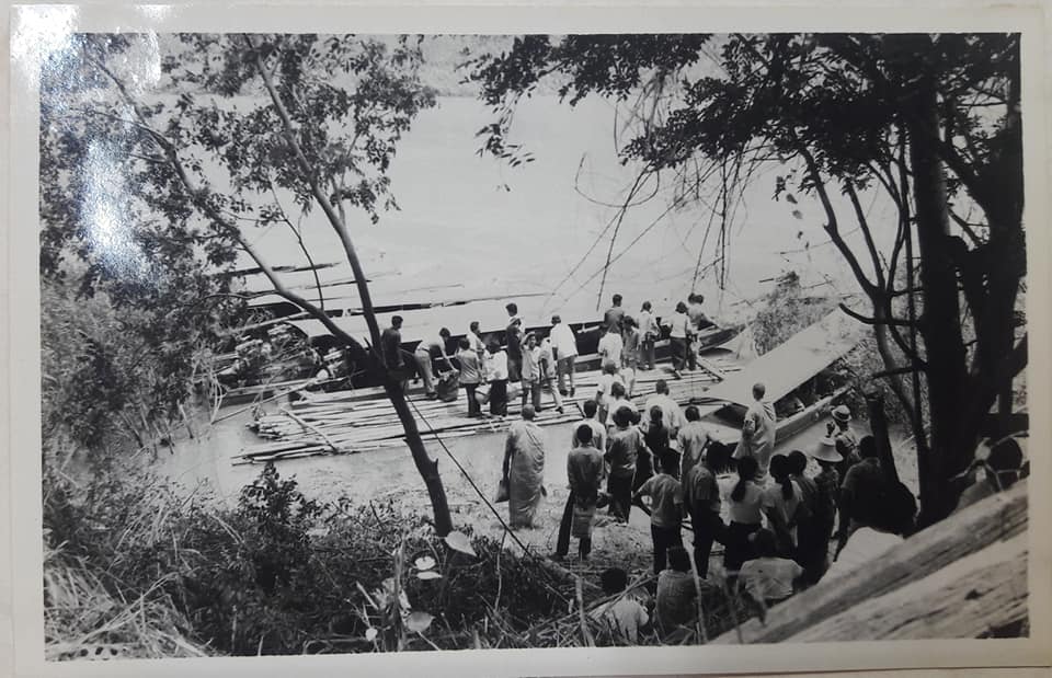
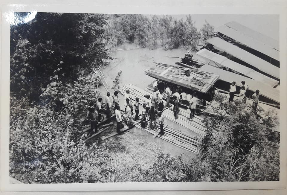
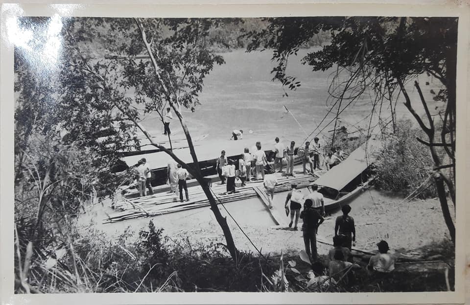
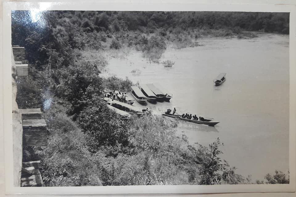
The ancient walled-city of Kanchanaburi was located at the confluence of the two major rivers that traverse the province and was a major trade port for goods moving up and down the river. The gallery below depicts the port / landing area in that era.
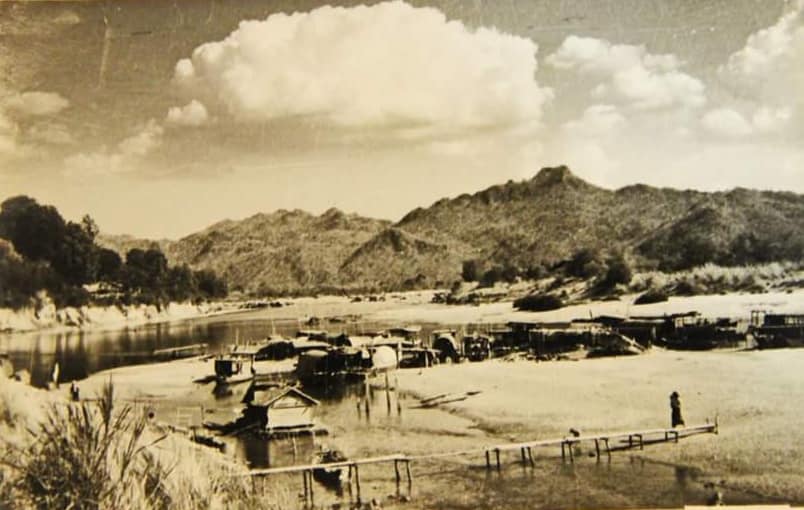
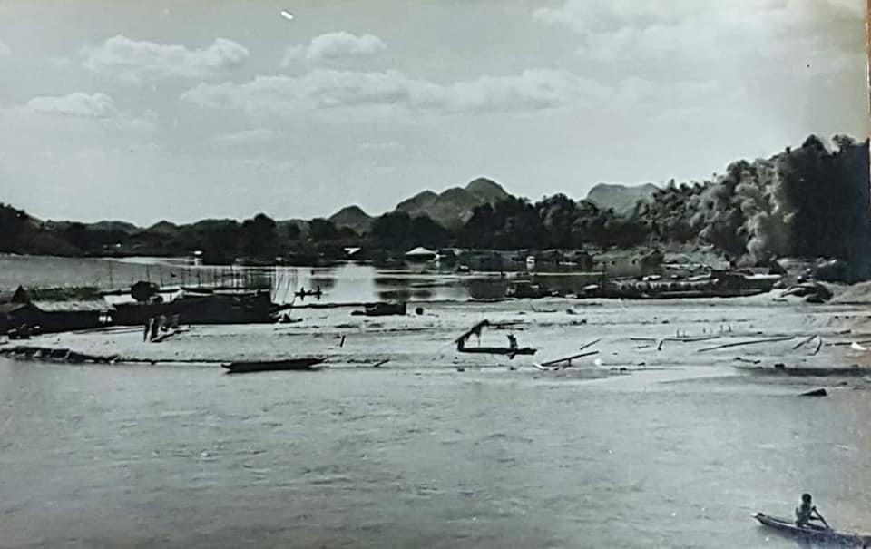
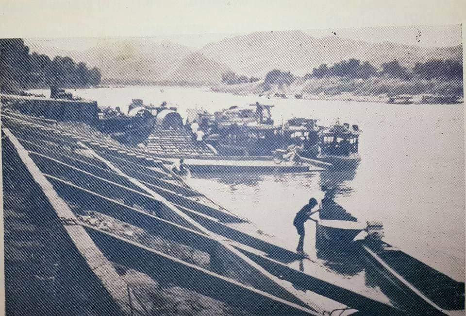
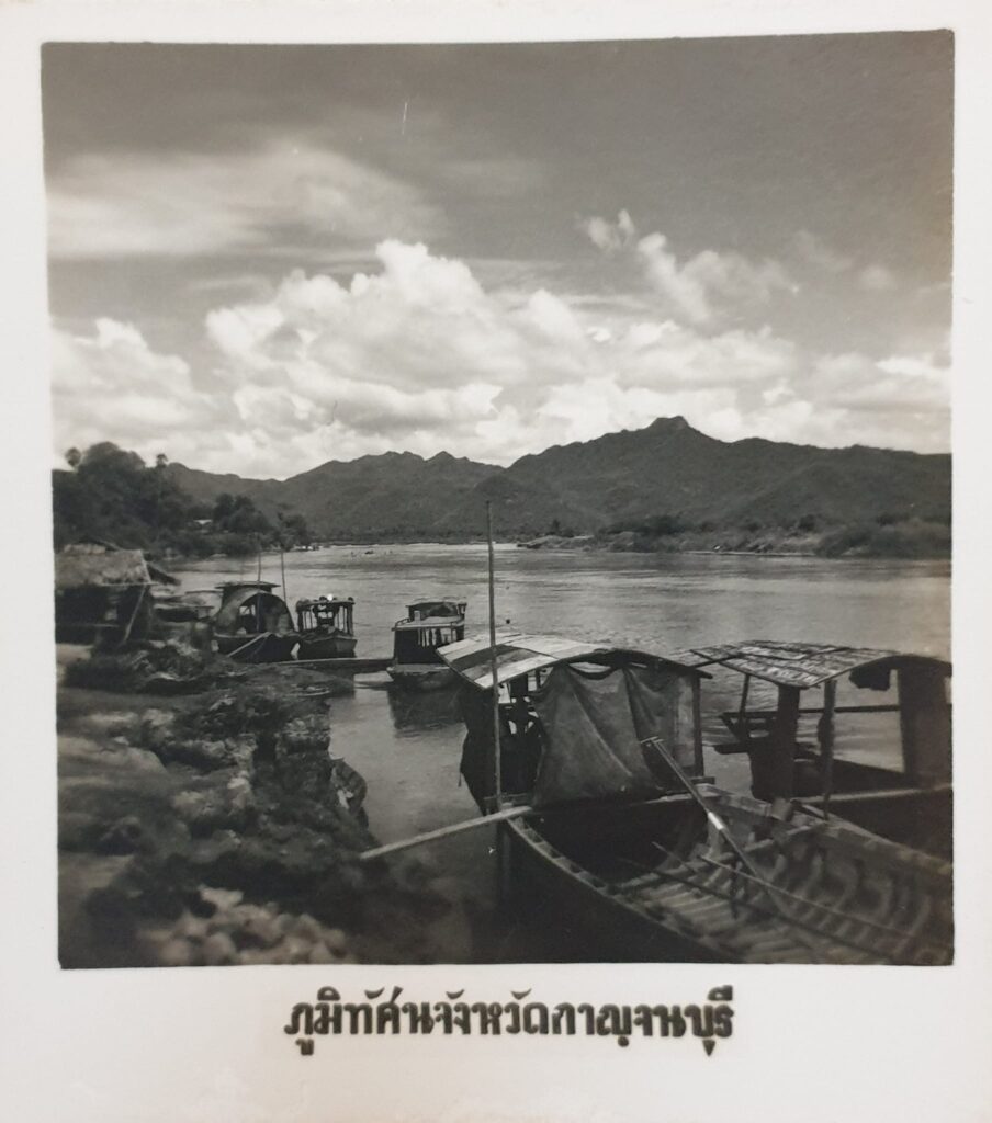
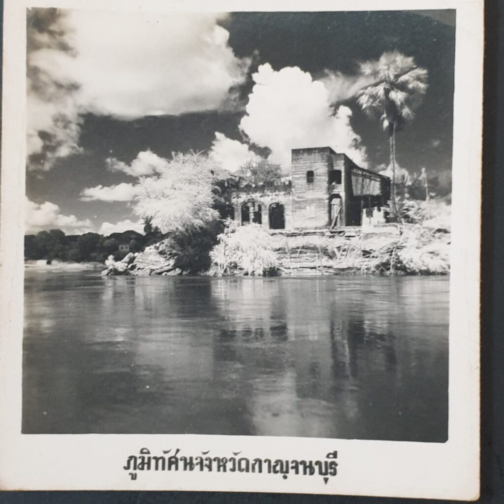
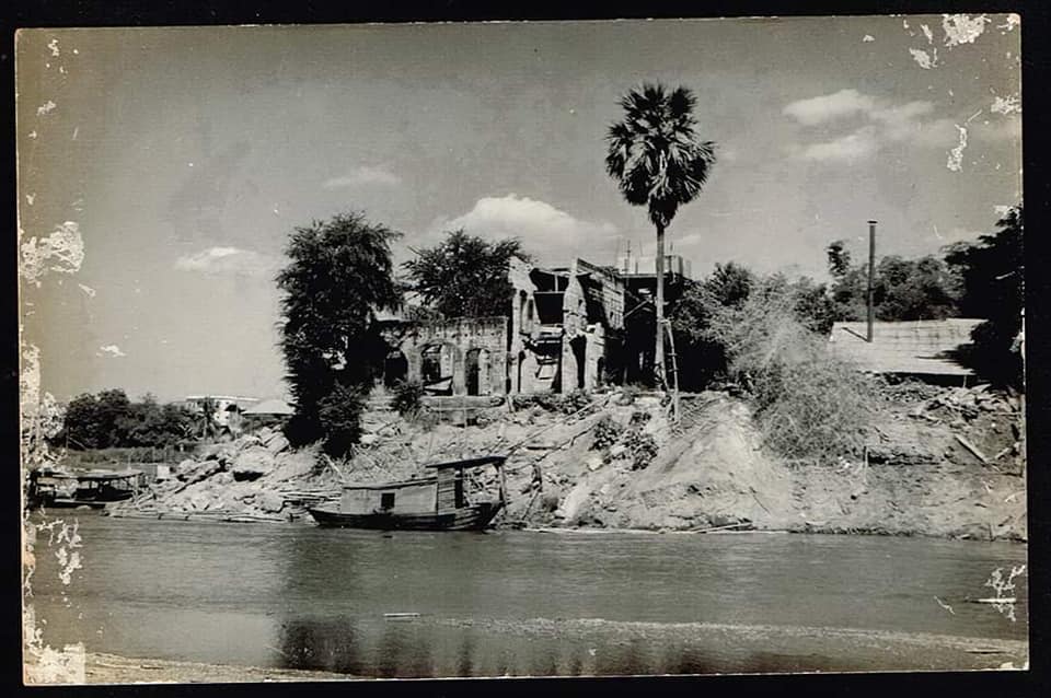
[Note the 2 undated photos of the building on the river bank.]
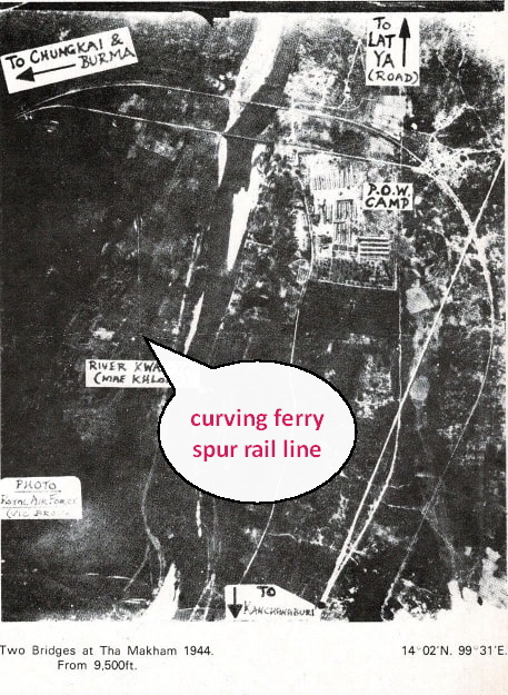
During the time the Railway bridges were under construction, the Japanese used ferries to move men and equipment up the Kwae Noi River. They built at least three spurs off the main trace of the railway; two on the north bank to shuttle trains to off-load onto boats and the other near the wooden bridge that linked back to the main rail line on the south bank. These enabled the continuous flow of material even before the two bridges were completed.
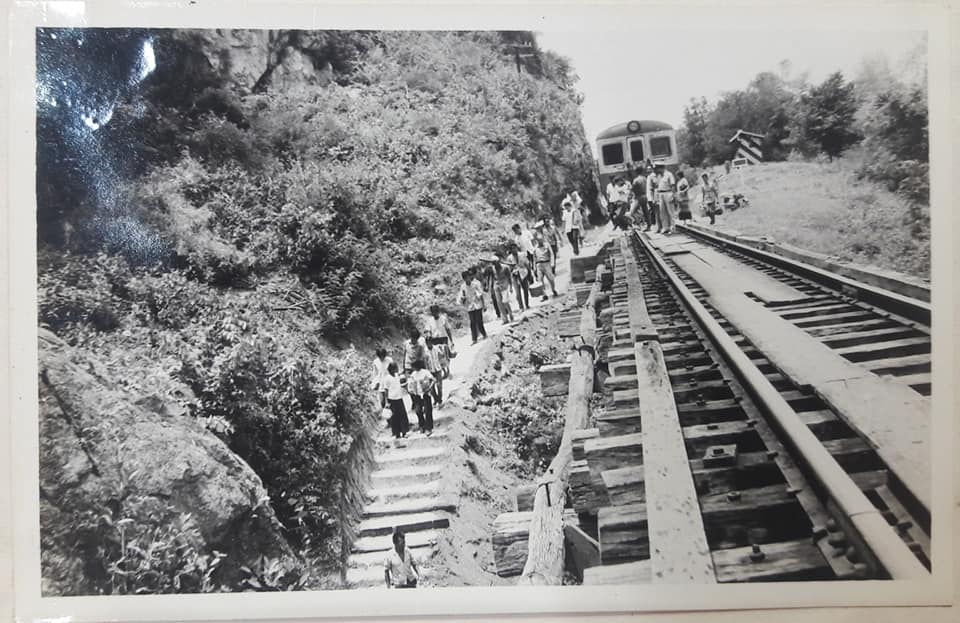
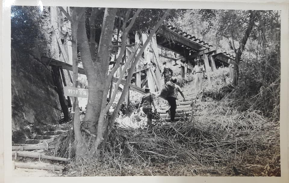
This second gallery shows local people departing the train at the WangPo viaduct and boarding the ferry for a trip to the south bank.
[1] It was during this period of development that thousands of romusha remains were unearthed.
